
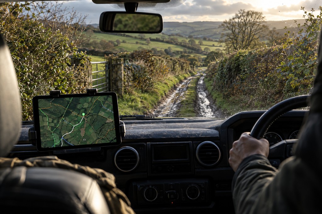
Find the lane
Search any town or postcode and reveal nearby BOATs and UCRs across England and Wales.
Plan the lane before you drive it.
Website + Android app included. Cancel anytime. No annual contract.
Map Reports Weather Council TRO Day planner GPX Sat-nav Android app
How ExplorerUK works
Search any town or postcode and reveal nearby BOATs and UCRs across England and Wales.
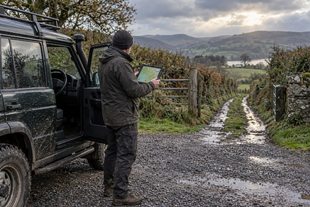
Read recent reports, check weather, scout the terrain and find the right council information.
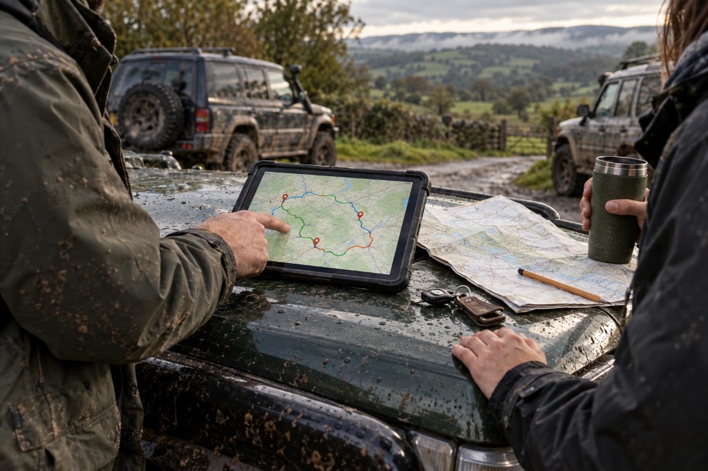
Join multiple lanes with ordinary roads, add useful stops, save the route and export it as GPX.
Check the lane properly before you drive it.
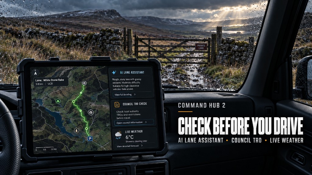
Command Hub 2 brings the map, latest reports, weather, council information, videos, fly-by scouting and sat-nav together—so you’re not relying on guesswork when you reach the lane.
Find BOATs and UCRs across England and Wales. Open a lane for member reports about gates, surfaces, obstacles and recent conditions. See weather at the map location, see which highway authority covers the area, and open their current TRO and rights-of-way pages. Ask the AI Lane Assistant to turn that into a clear pre-drive briefing. Planning only — always check current restrictions and council information yourself.
Scout unfamiliar lanes with member video clips and satellite fly-by views. Add fuel, workshops, meeting points and useful stops. Talk to other members, arrange meet-ups and send the lane to your sat-nav when you are ready.
Find it. Check it. Scout it. Drive it.
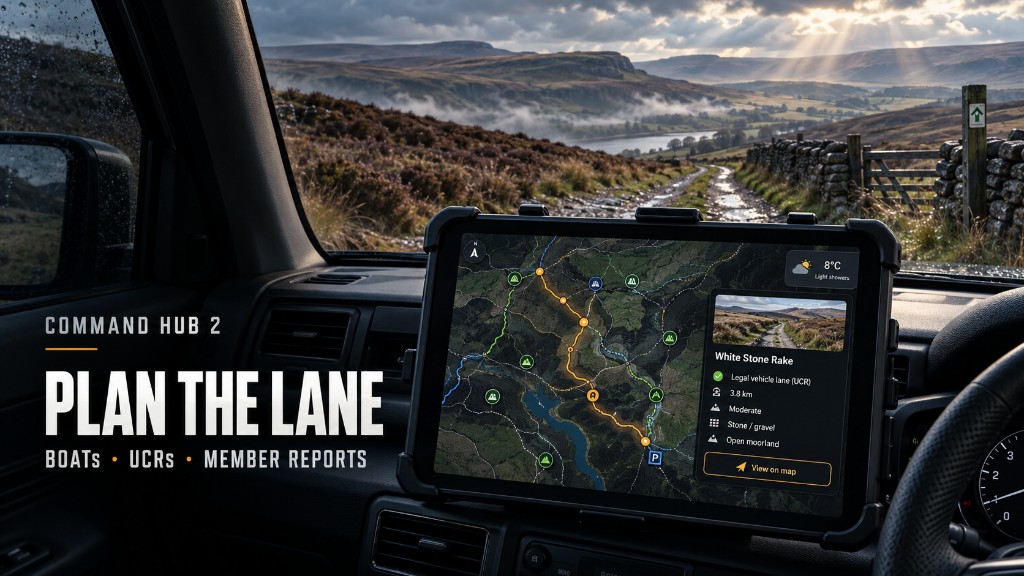

Search any town and reveal nearby BOATs, UCRs and green lanes on one map.
Read reports about gates, surfaces, obstructions, closures and changing conditions — or add an update that helps the next driver.
Build a day of green lanes joined by ordinary roads. Save the route, share it, and export GPX when you are ready.
Turn available lane notes, recent reports, weather and local information into one planning brief before you set off. Planning only — not legal advice.
See which highway authority covers the map area, then open their current TRO and rights-of-way information. ExplorerUK does not guarantee a live TRO list.
See weather at the map location and factor in rain, wind and changing ground when you plan the day.
Watch uploaded lane footage and use satellite fly-by views to get a sense of the terrain before you arrive. Map preview — not live dashcam.
Mark fuel, recovery, workshops, meeting points, pay-and-play sites and other useful stops around your route.
Once you have checked the lane and planned the day, send the location to your preferred navigation app.
Talk with other members, share useful information and arrange local green-laning days without leaving Command Hub 2.
Share your position with other members on the map when you need a heads-up. ExplorerUK does not send help. Call 999 yourself in an emergency.
Council and member information is planning guidance only. Always check signs and official highway-authority information. SOS beacon does not replace 999 or the emergency services.
More than a map. Trail information can change quickly. Command Hub 2 brings the map, people, conditions and planning tools together so you can make a better-informed decision before driving.
99p a week. Cancel anytime. No annual contract.
Day planner
Choose your starting point, add several green lanes, connect them using ordinary roads, add fuel or meeting stops, then save, share or export the finished route.
Search any town or postcode and reveal nearby BOAT and UCR lines.
Read recent reports, check weather, scout the terrain and find the right council information. Always confirm signs and current restrictions yourself.
Join multiple lanes with ordinary roads, add useful stops, save the route and export GPX.
Full access — 99p a week
Get full access to ExplorerUK and Command Hub 2.
Cancel anytime. No annual contract.
ExplorerUK is for planning. Map lines and member notes are not proof a lane is open or legal to drive. Check signage, TROs, access and conditions before you go. Stay on the legal route, respect other users, and turn around if you should not continue.