
01 / 04
Find
Search any town or postcode. Nearby BOATs and UCRs across England and Wales show up on one map, colour-coded by type.
- Town & postcode search
- BOAT + UCR layers
- Pay-and-play sites
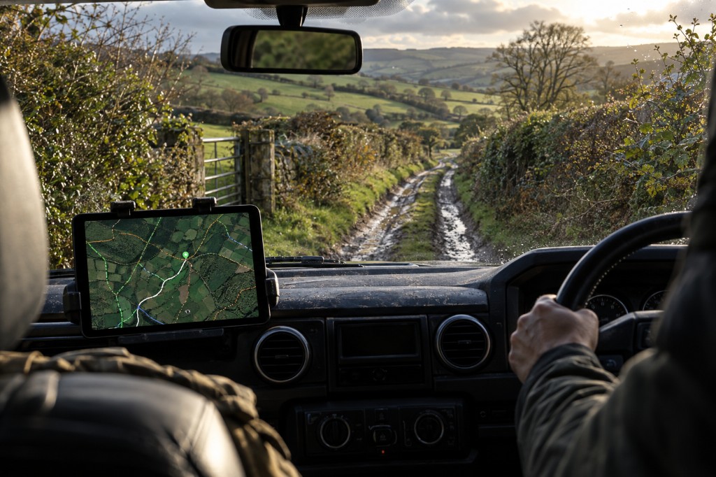
BOATs & UCRs · England & Wales
One map for green lanes, member reports, weather at the lane and the council's TRO pages. Plan the whole day, then send it to your sat-nav.
Website + Android app included · Cancel anytime · No annual contract
How it works
Lanes change with the weather, the season and the council. ExplorerUK puts what you need to know on one screen, in the order you need it.
Search any town or postcode. Nearby BOATs and UCRs across England and Wales show up on one map, colour-coded by type.
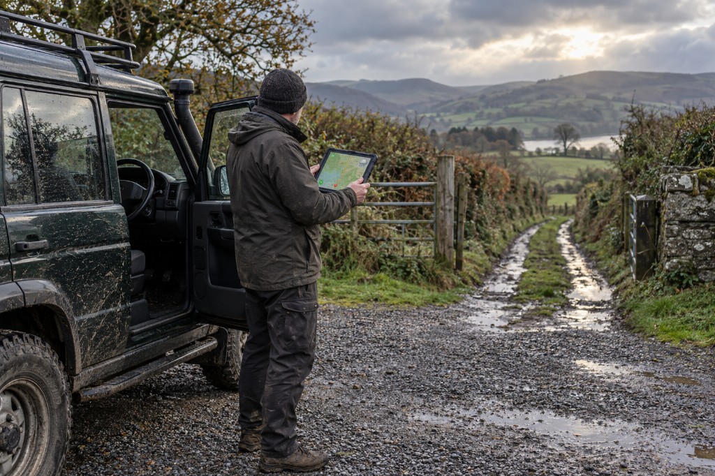
Open a lane to read recent member reports on gates, surfaces and obstructions. See the weather at that spot, which highway authority covers it, and go straight to their TRO and rights-of-way pages.
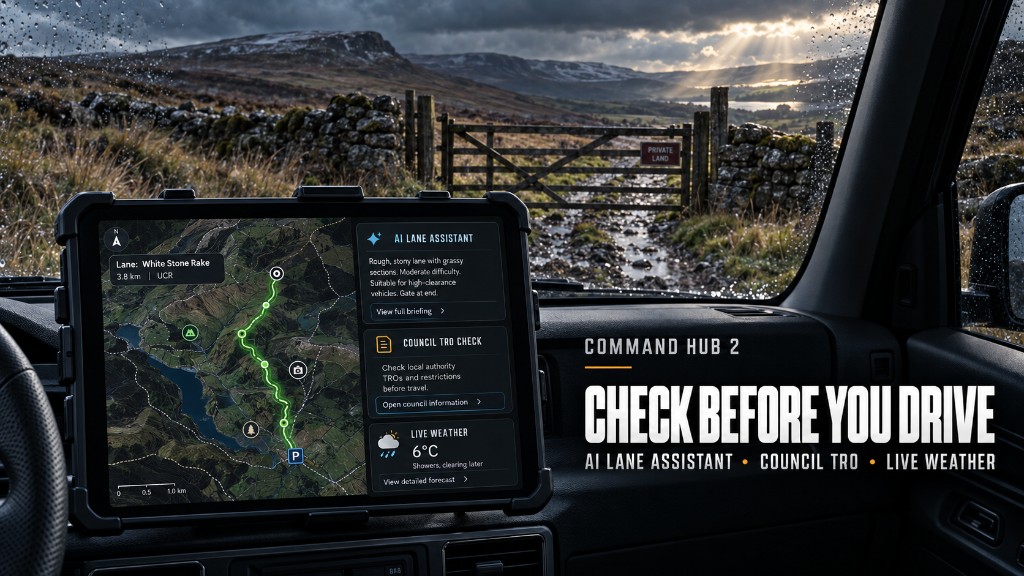
Watch clips other members have filmed, fly the lane on satellite view, and ask the AI Lane Assistant to turn it all into a short pre-drive brief.
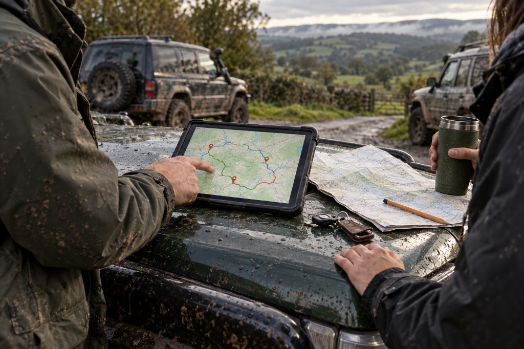
Join several lanes with ordinary roads, add fuel and meeting stops, then export GPX or send it to your sat-nav. Share the day with your group.
Members' map
The map, the people and the conditions on one screen, built for a tablet in the cab. Everything below comes with membership.
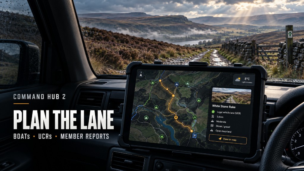
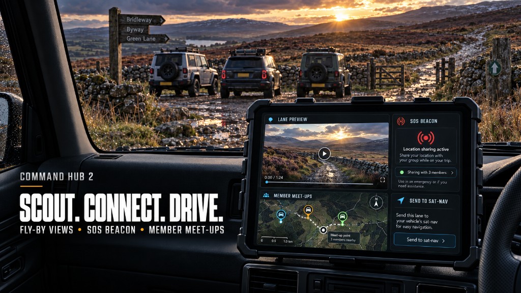
Search any town and see nearby BOATs, UCRs and green lanes together.
Gates, surfaces, obstructions and closures, from the last people to drive it. Add your own update.
Several lanes joined by ordinary roads. Save, share and export GPX.
Fuel, recovery, workshops, meeting points and pay-and-play sites around your route.
Lane notes, recent reports and weather turned into one pre-drive brief. Planning only, not legal advice.
See which highway authority covers the area and open its TRO and rights-of-way pages.
Rain, wind and ground conditions where the map is pointing, not where you live.
Member footage and satellite fly-by views to read the terrain before you arrive.
Checked and planned? Send the location to your usual navigation app.
Talk to other members and arrange local laning days without leaving the map.
Share your position with members on the map. It doesn't send help: call 999 in an emergency.
Find it. Check it. Drive it.
Day planner
Android app
The ExplorerUK app is included with membership. Log in once and your lanes, reports and saved days are there on your phone.
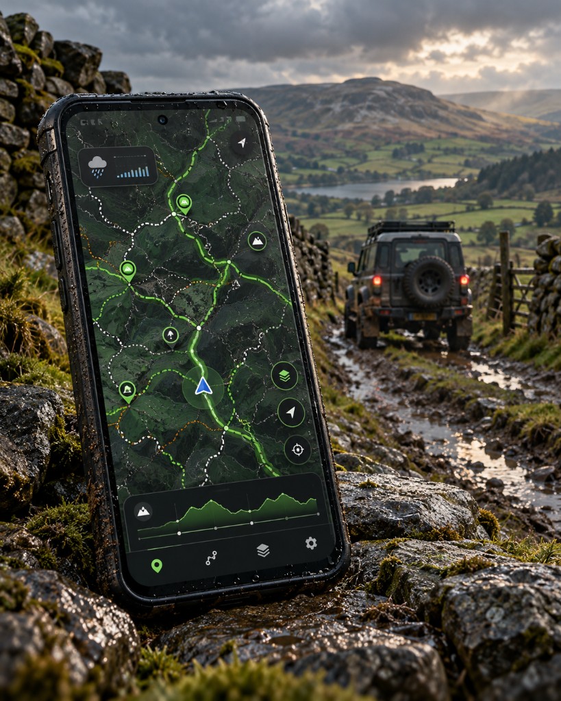
Members' map · New
Viewpoints, fords, campsites, ruins, peaks and more, mapped across England and Wales. Search anywhere, save what you find, and take it with you.
Free apps
Two apps for anyone who goes outdoors. No account, no adverts. Download and go.
Free · Android
Read the sky before you go. Hourly and 14-day forecasts with a home-screen widget.
Free · Android
What's above you, right now. Live, for wherever you're standing.
Membership
Full access to ExplorerUK and Green Laning Map, on the web and the Android app. Cancel anytime. No annual contract.
Join now Already a member? Log in · Not sure yet? Try the free mapThe code